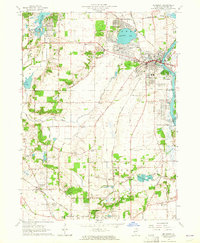
1963 Map of McHenry
USGS Topo · Published 1964About this map
The Fox River corridors and glacial lake basins define this early 1960s landscape in McHenry County. The area showcases a transition from agricultural lands to growing residential lakeside communities like Wonder Lake, McCullom Lake, and Riverstream. Significant infrastructure of the era is evident, from the Chicago and North Western railroad lines to the Mc Henry Dam State Park and local industrial Gravel Pits. Local history is preserved through numerous family and community landmarks, including Holcombville Corners and Ridgefield. Genealogists will find many well-documented burial grounds such as St Marys Cem, Holcombville Cem, and the Crystal Lake Memorial Park. The map also identifies educational and religious institutions like St Joseph Seminary and the Terra Cotta Sch, reflecting the established social fabric of these North Fox River valley townships during a period of mid-century suburban expansion.
Find a feature on this map
64 named features on this map. Tap any name to fly to it.
Don’t see what you’re looking for? This feature index may not catch every label — zoom into the map to look around manually.
Map Details
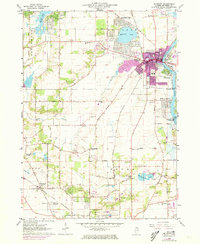
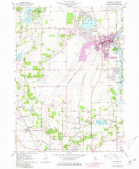
Editions of this 1963 McHenry Map
3 editions found
Other maps of this area

1920 · Grays Lake
USGS Topo · 1:62,500

1923 · Grays Lake
USGS Topo · 1:62,500

1923 · Barrington
USGS Topo · 1:62,500

1925 · Elgin
USGS Topo · 1:62,500

1926 · Mc Henry
USGS Topo · 1:62,500

1935 · Barrington
USGS Topo · 1:62,500

1940 · Elgin
USGS Topo · 1:62,500

1944 · McHenry
USGS Topo · 1:62,500

1954 · Rockford
USGS Topo · 1:250,000

1955 · Rockford
USGS Topo · 1:250,000