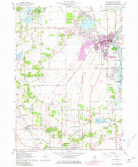
1963 Map of McHenry
USGS Topo · Published 1981About this map
The Fox River anchors this detailed study of McHenry County, showing the region as it transitioned through the mid-20th century. While the city of McHenry and the expanding residential areas around Wonder Lake and McCullom Lake show significant development, the landscape remains dotted with smaller, historic clusters like Holcombville Corners and Ridgefield. The transportation infrastructure is defined by the Chicago and North Western railroad, which parallels the river and serves the industrial and residential corridors.
Find a feature on this map
57 named features on this map. Tap any name to fly to it.
Don’t see what you’re looking for? This feature index may not catch every label — zoom into the map to look around manually.
Map Details
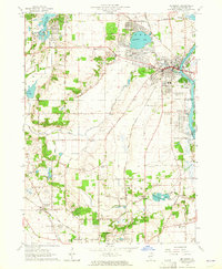
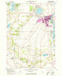
Editions of this 1963 McHenry Map
3 editions found
Other maps of this area

1920 · Grays Lake
USGS Topo · 1:62,500

1923 · Grays Lake
USGS Topo · 1:62,500

1923 · Barrington
USGS Topo · 1:62,500

1925 · Elgin
USGS Topo · 1:62,500

1926 · Mc Henry
USGS Topo · 1:62,500

1935 · Barrington
USGS Topo · 1:62,500

1940 · Elgin
USGS Topo · 1:62,500

1944 · McHenry
USGS Topo · 1:62,500

1954 · Rockford
USGS Topo · 1:250,000

1955 · Rockford
USGS Topo · 1:250,000