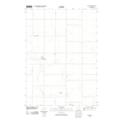
2010 Map of McIntire
USGS Topo · Published 2010About this map
The Wapsipinicon River and its various tributaries define this section of Mitchell County, Iowa. The town of McIntire, situated along the river's path, serves as the primary settlement and is home to the McIntire Post Office. Further north along the county line lies Bailey, another established community in this agricultural landscape. The township's history is anchored by the Wayne Cemetery, while the presence of the Little Cedar River Bridge and the southeastern corner's Lake Hendricks highlight local landmarks and recreation areas. The drainage network is particularly dense here, featuring the Staff Creek, Watsons Creek, and the Little Wapsipinicon River, reflecting a terrain shaped by consistent water flow through the rural grid of county roads.
Find a feature on this map
31 named features on this map. Tap any name to fly to it.
Don’t see what you’re looking for? This feature index may not catch every label — zoom into the map to look around manually.
Map Details
Editions of this 2010 McIntire Map
This is the sole edition of this map. No revisions or reprints were ever made.
Other maps of this area

1954 · Mason City
USGS Topo · 1:250,000

1957 · Mason City
USGS Topo · 1:250,000

1958 · Mason City
USGS Topo · 1:250,000

1965 · Le Roy
USGS Topo · 1:24,000

1965 · Ostrander
USGS Topo · 1:24,000

1965 · Adams
USGS Topo · 1:24,000

1972 · Mc Intire
USGS Topo · 1:24,000

1972 · Little Cedar
USGS Topo · 1:24,000

1972 · New Haven
USGS Topo · 1:24,000

1972 · Riceville
USGS Topo · 1:24,000