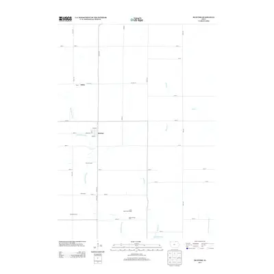
2013 Map of McIntire
USGS Topo · Published 2013About this map
The Wapsipinicon River and its various tributaries define this northern Mitchell County landscape near the Minnesota border. The town of McIntire serves as the central hub of the area, laid out with a clear grid featuring Wheeler St, Munson St, and Grace St. To the northwest, the small settlement of Bailey sits along Co HWY-a19, marking an earlier era of rural connectivity.
Find a feature on this map
39 named features on this map. Tap any name to fly to it.
Don’t see what you’re looking for? This feature index may not catch every label — zoom into the map to look around manually.
Map Details
Editions of this 2013 McIntire Map
This is the sole edition of this map. No revisions or reprints were ever made.
Other maps of this area

1954 · Mason City
USGS Topo · 1:250,000

1957 · Mason City
USGS Topo · 1:250,000

1958 · Mason City
USGS Topo · 1:250,000

1965 · Le Roy
USGS Topo · 1:24,000

1965 · Ostrander
USGS Topo · 1:24,000

1965 · Adams
USGS Topo · 1:24,000

1972 · Mc Intire
USGS Topo · 1:24,000

1972 · Little Cedar
USGS Topo · 1:24,000

1972 · New Haven
USGS Topo · 1:24,000

1972 · Riceville
USGS Topo · 1:24,000