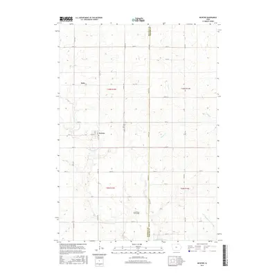
2015 Map of McIntire
USGS Topo · Published 2015About this map
McIntire and the smaller settlement of Bailey anchor this northern Iowa landscape along the boundary of Mitchell and Howard counties. The terrain is defined by the headwaters of the Little Wapsipinicon River and the winding course of Watsons Cr, which flows toward the Little Cedar River Bridge. This modern topographic study reveals a deeply gridded agricultural layout, where established section lines like Addison Ave and Windfall Ave organize the farmsteads and rural infrastructure. Genealogists and local researchers will find the Wayne Cem situated centrally within the quadrangle, while outdoor enthusiasts may note the recreational potential at Lake Hendricks in the southern portion of the map. The collection of small-scale roads, such as Wheeler St and Valley Ave, illustrates the persistent connectivity of these rural townships in the early twenty-first century.
Find a feature on this map
41 named features on this map. Tap any name to fly to it.
Don’t see what you’re looking for? This feature index may not catch every label — zoom into the map to look around manually.
Map Details
Editions of this 2015 McIntire Map
This is the sole edition of this map. No revisions or reprints were ever made.
Other maps of this area

1954 · Mason City
USGS Topo · 1:250,000

1957 · Mason City
USGS Topo · 1:250,000

1958 · Mason City
USGS Topo · 1:250,000
1965 · Le Roy
USGS Topo · 1:24,000
1965 · Ostrander
USGS Topo · 1:24,000
1965 · Adams
USGS Topo · 1:24,000
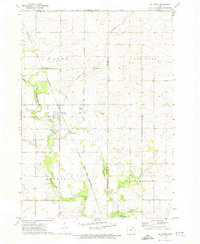
1972 · Mc Intire
USGS Topo · 1:24,000
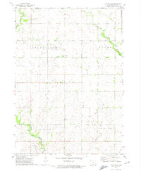
1972 · Little Cedar
USGS Topo · 1:24,000
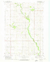
1972 · New Haven
USGS Topo · 1:24,000
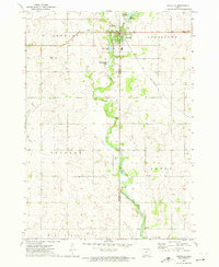
1972 · Riceville
USGS Topo · 1:24,000