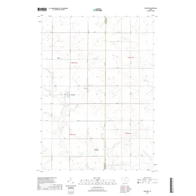
2018 Map of McIntire
USGS Topo · Published 2018About this map
Mcintire and Bailey sit at the center of this 2018 survey, reflecting the rural agricultural character of the border between Mitchell and Howard counties. The town of Mcintire is laid out with a clear grid featuring Wheeler St, 1st St, and 2nd St, while the surrounding landscape is defined by the winding course of the Wapsipinicon River. The survey captures a well-established section of Iowa's northern borderlands, where family history is anchored at sites like Wayne Cem and the distinctive Little Cedar River Bridge on the southern edge of the quadrangle. Smaller waterways, including Staff Cr and Watsons Cr, carve through the township sections, highlighting the natural drainage patterns that have dictated local land use and farm boundaries for generations. This map provides a clear view of the intersection between human settlement and the river-and-creek network that shapes the region.
Find a feature on this map
40 named features on this map. Tap any name to fly to it.
Don’t see what you’re looking for? This feature index may not catch every label — zoom into the map to look around manually.
Map Details
Editions of this 2018 McIntire Map
This is the sole edition of this map. No revisions or reprints were ever made.
Other maps of this area

1954 · Mason City
USGS Topo · 1:250,000

1957 · Mason City
USGS Topo · 1:250,000

1958 · Mason City
USGS Topo · 1:250,000
1965 · Le Roy
USGS Topo · 1:24,000
1965 · Ostrander
USGS Topo · 1:24,000
1965 · Adams
USGS Topo · 1:24,000
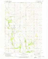
1972 · Mc Intire
USGS Topo · 1:24,000
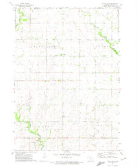
1972 · Little Cedar
USGS Topo · 1:24,000
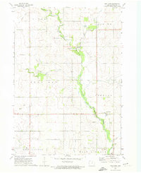
1972 · New Haven
USGS Topo · 1:24,000
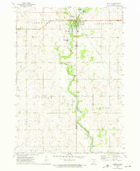
1972 · Riceville
USGS Topo · 1:24,000