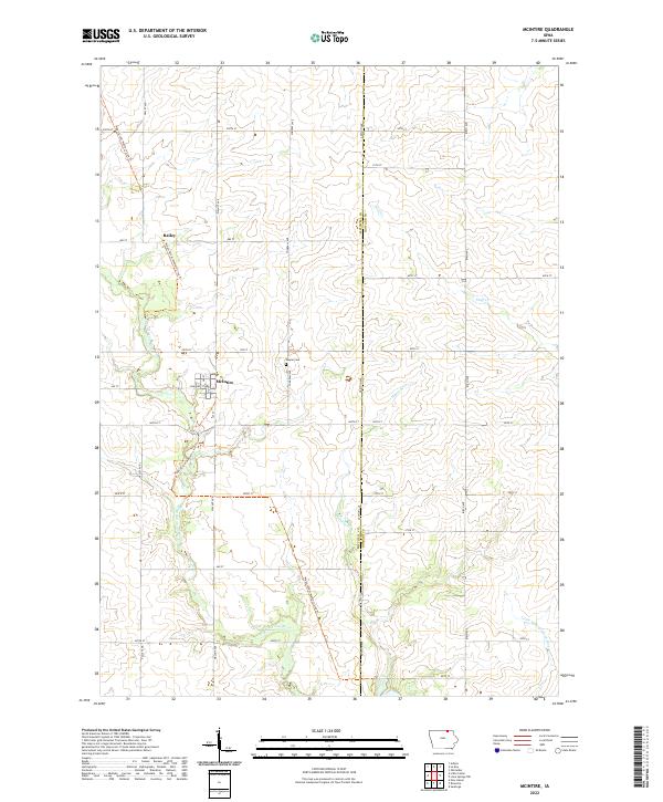
2022 Map of McIntire
USGS Topo · Published 2022About this map
McIntire and Bailey serve as the primary focal points of this northeastern Iowa landscape, situated along the border of Mitchell and Howard Counties. The topography is defined by the branching waterways of the Wapsipinicon River and the Little Wapsipinicon River, which carve subtle drainage patterns across the agricultural terrain. A significant modern transformation of the historic rail corridor is evident in the Wapsi-Great Western Line Trail, which now follows the path of former transit lines through both settlements. Genealogists and local historians will find the centrally located Wayne Cemetery a key landmark for tracing family roots in this rural township. The map illustrates a well-ordered grid of section lines and county roads, including Windfall Ave and Addison Ave, that organize the farmsteads and fields characteristic of the region's 21st-century agricultural character.
Find a feature on this map
13 named features on this map. Tap any name to fly to it.
Don’t see what you’re looking for? This feature index may not catch every label — zoom into the map to look around manually.
Map Details
Editions of this 2022 McIntire Map
This is the sole edition of this map. No revisions or reprints were ever made.
Other maps of this area

1954 · Mason City
USGS Topo · 1:250,000

1957 · Mason City
USGS Topo · 1:250,000

1958 · Mason City
USGS Topo · 1:250,000

1965 · Le Roy
USGS Topo · 1:24,000

1965 · Ostrander
USGS Topo · 1:24,000

1965 · Adams
USGS Topo · 1:24,000

1972 · Mc Intire
USGS Topo · 1:24,000

1972 · Little Cedar
USGS Topo · 1:24,000

1972 · New Haven
USGS Topo · 1:24,000

1972 · Riceville
USGS Topo · 1:24,000