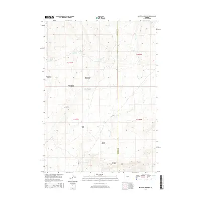
2015 Map of McIntosh Meadows
USGS Topo · Published 2015About this map
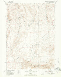
Mcintosh Meadows and the surrounding high desert terrain define this landscape along the border of Fremont and Natrona Counties. The map reveals a series of critical water sources essential for life in this arid region, including Lamoreaux Cabin Springs, Cold Spring, and the clustered Diamond Springs: West Diamond, Middle Diamond, Big Diamond, and East Diamond Springs. These springs feed a complex system of drainage channels such as Diamond Springs Draw and Big Diamond Springs Draw. The topography is marked by significant landmarks like the Beaver Rim to the northwest and the distinctive West Sage Hen Rocks near the southern boundary. Human presence is sparse, oriented around the winding Agate Flat Rd and the broad expanse of Agate Flats, suggesting a history tied to ranching and passage through the Dirty Gap.
Find a feature on this map
23 named features on this map. Tap any name to fly to it.
Don’t see what you’re looking for? This feature index may not catch every label — zoom into the map to look around manually.
Map Details
Editions of this 2015 McIntosh Meadows Map
This is the sole edition of this map. No revisions or reprints were ever made.
Other maps of this area
1951 · Lone Mountain
USGS Topo · 1:24,000
1951 · Black Rock Gap
USGS Topo · 1:24,000
1951 · Lankin Dome
USGS Topo · 1:24,000
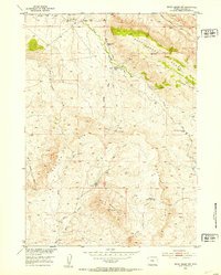
1952 · Ervay Basin SW
USGS Topo · 1:24,000
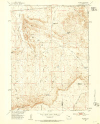
1952 · Gas Hills
USGS Topo · 1:24,000
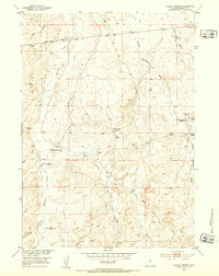
1952 · Puddle Springs
USGS Topo · 1:24,000
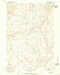
1952 · Coyote Springs
USGS Topo · 1:24,000
1952 · Mc Intosh Meadows
USGS Topo · 1:24,000

1955 · Casper
USGS Topo · 1:250,000
1957 · Puddle Springs
USGS Topo · 1:24,000