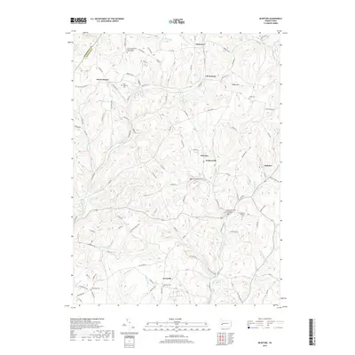
2019 Map of McIntyre
USGS Topo · Published 2019About this map
The hills of Blacklegs Cr and Aultmans Run define this portion of Indiana and Armstrong counties. Several small coal-era settlements such as McIntyre, Jacksonville, and Aultman are connected by a web of local roads and an extensive Old Railroad Grade that traces the stream valleys. This network of industrial remnants suggests a landscape deeply shaped by former mining operations, where rail lines once served the small communities tucked into the narrow hollows.
Find a feature on this map
108 named features on this map. Tap any name to fly to it.
Don’t see what you’re looking for? This feature index may not catch every label — zoom into the map to look around manually.
Map Details
Editions of this 2019 McIntyre Map
This is the sole edition of this map. No revisions or reprints were ever made.
Other maps of this area

1900 · Latrobe
USGS Topo · 1:62,500

1902 · Latrobe
USGS Topo · 1:62,500

1902 · Indiana
USGS Topo · 1:62,500

1902 · Elders Ridge
USGS Topo · 1:62,500

1903 · Latrobe
USGS Topo · 1:62,500

1904 · Elders Ridge
USGS Topo · 1:62,500

1920 · New Florence
USGS Topo · 1:62,500

1921 · New Florence
USGS Topo · 1:48,000

1922 · New Florence
USGS Topo · 1:62,500

1944 · New Florence
USGS Topo · 1:62,500
Featured Places
- Black Lick Township, PA
- South Bend Township, PA
- Armstrong Township, PA
- Lewisville, Conemaugh Township
- Young Township, PA