2023 Map of McIntyre
USGS Topo · Published 2023About this map
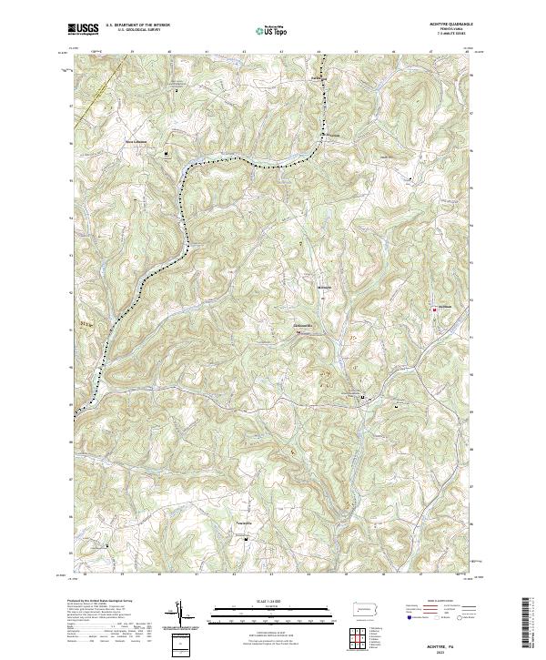
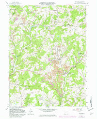
Blacklegs Creek and its many tributaries, such as Whisky Run and Hooper Run, carve through the complex terrain of Indiana County near the Armstrong County line. This area is characterized by small, established settlements like West Lebanon and Jacksonville, which are connected by a network of rural roads that often follow the winding ridges and valley floors. Local history is deeply embedded in the landscape through numerous religious and burial sites, including the West Union United Presbyterian Church and the Fairview-McIntyre Cem near McIntyre. The presence of an Old Railroad Grade near Jacksonville and the industrial character of Aultman point to the region's legacy of resource extraction and transit. Further south, Lewisville sits near the banks of Roaring Run, while landmarks like Watts Hill provide prominent reference points for the surrounding countryside.
Find a feature on this map
97 named features on this map. Tap any name to fly to it.
Don’t see what you’re looking for? This feature index may not catch every label — zoom into the map to look around manually.
Map Details
Editions of this 2023 McIntyre Map
This is the sole edition of this map. No revisions or reprints were ever made.
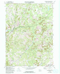
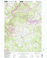
Historical Maps of Parkwood Through Time
11 maps found

1902 Barnesboro
Indiana County, PA
1904 Barnesboro
Indiana County, PA
1961 Strongstown
Indiana County, PA
1963 Brush Valley
Indiana County, PA
1964 Mc Intyre
Indiana County, PA
1968 Rochester Mills
Indiana County, PA
1998 Brush Valley
Indiana County, PA
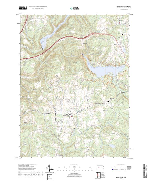
2023 Brush Valley
Indiana County, PA
2023 McIntyre
Indiana County, PA
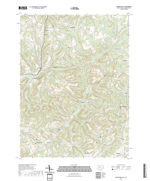
2023 Rochester Mills
Indiana County, PA
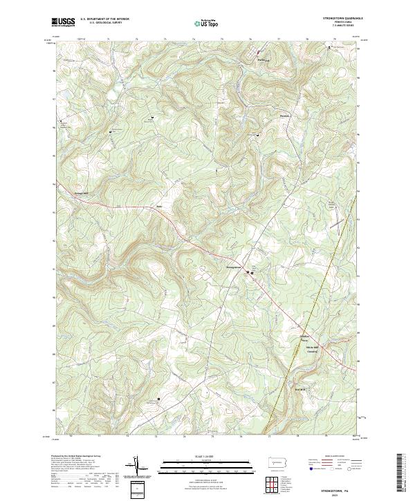
2023 Strongstown
Indiana County, PA
Featured Locations
- Armstrong Township, PA
- Young Township, PA
- Black Lick Township, PA
- Conemaugh Township, PA
- South Bend Township, PA