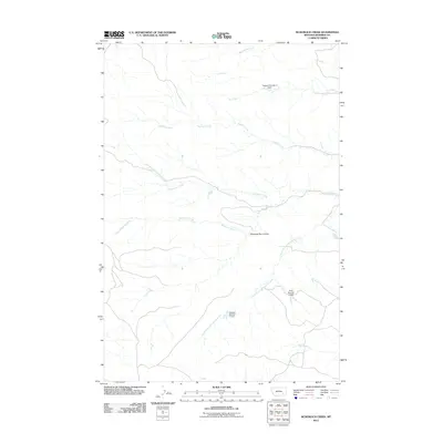
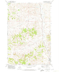
2011 Map of McKerlich Creek
USGS Topo · Published 2011About this map
McKerlich Creek winds through this rural Montana landscape, which is defined by a complex network of seasonal drainages and local water management infrastructure in Rosebud County. The map documents a sparsely populated ranching or grazing environment where small-scale water containment is critical, as seen in the presence of Vassaus Number 4 Dam, Vassaus Number 11 Dam, and Sand Number 2 Dam. The naming of Shearing Pen Coulee points to the area's agricultural history, likely serving as a localized hub for livestock operations.
Find a feature on this map
12 named features on this map. Tap any name to fly to it.
Don’t see what you’re looking for? This feature index may not catch every label — zoom into the map to look around manually.
Map Details
Editions of this 2011 McKerlich Creek Map
This is the sole edition of this map. No revisions or reprints were ever made.
Other maps of this area

1954 · Hardin
USGS Topo · 1:250,000

1954 · Forsyth
USGS Topo · 1:250,000

1957 · Hardin
USGS Topo · 1:250,000

1957 · Forsyth
USGS Topo · 1:250,000

1958 · Forsyth
USGS Topo · 1:250,000

1958 · Hardin
USGS Topo · 1:250,000
1971 · Hammond Draw NW
USGS Topo · 1:24,000
1971 · Colstrip East
USGS Topo · 1:24,000
1971 · Smith Creek NE
USGS Topo · 1:24,000
1971 · Colstrip West
USGS Topo · 1:24,000