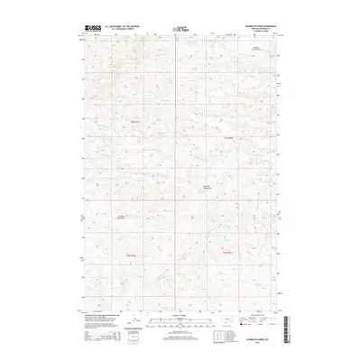
2014 Map of McKerlich Creek
USGS Topo · Published 2014About this map
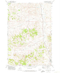
McKerlich Creek and its surrounding drainages define this stretch of Rosebud County, Montana, as it appeared in the early 21st century. The landscape is characterized by a complex network of coulees and seasonal watercourses, including Shearing Pen Coulee and the uniquely named Chicken Coop Coulee in the northern portion of the map. These landforms indicate a history of ranching and livestock management, where natural geography was adapted for specific agricultural uses. The drainage system is extensive, with Cottonwood Creek and its tributaries, such as North Fork Cottonwood Creek and South Fork Cottonwood Creek, cutting through the terrain. Other notable waterways include Sawmill Creek and West Vance Creek, which further illustrate the watershed's intricate pattern within the sections of T4N R41E and T3N R42E.
Find a feature on this map
14 named features on this map. Tap any name to fly to it.
Don’t see what you’re looking for? This feature index may not catch every label — zoom into the map to look around manually.
Map Details
Editions of this 2014 McKerlich Creek Map
This is the sole edition of this map. No revisions or reprints were ever made.
Other maps of this area

1954 · Hardin
USGS Topo · 1:250,000

1954 · Forsyth
USGS Topo · 1:250,000

1957 · Hardin
USGS Topo · 1:250,000

1957 · Forsyth
USGS Topo · 1:250,000

1958 · Forsyth
USGS Topo · 1:250,000

1958 · Hardin
USGS Topo · 1:250,000
1971 · Hammond Draw NW
USGS Topo · 1:24,000
1971 · Colstrip East
USGS Topo · 1:24,000
1971 · Smith Creek NE
USGS Topo · 1:24,000
1971 · Colstrip West
USGS Topo · 1:24,000