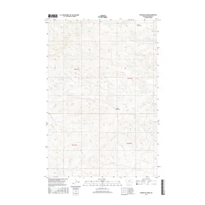
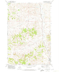
2017 Map of McKerlich Creek
USGS Topo · Published 2017About this map
McKerlich Creek carves a path through the dissected landscape of Rosebud County, Montana, where a complex network of ephemeral and perennial drainages defines the local topography. This 2017 survey details a region characterized by its coulees and creek beds, which have long served as vital landmarks in this ranching territory. Distinctive local names like Shearing Pen Coulee and Chicken Coop Coulee point to the area's agricultural heritage and the practical use of the terrain for livestock management.
Find a feature on this map
14 named features on this map. Tap any name to fly to it.
Don’t see what you’re looking for? This feature index may not catch every label — zoom into the map to look around manually.
Map Details
Editions of this 2017 McKerlich Creek Map
This is the sole edition of this map. No revisions or reprints were ever made.
Other maps of this area

1954 · Hardin
USGS Topo · 1:250,000

1954 · Forsyth
USGS Topo · 1:250,000

1957 · Hardin
USGS Topo · 1:250,000

1957 · Forsyth
USGS Topo · 1:250,000

1958 · Forsyth
USGS Topo · 1:250,000

1958 · Hardin
USGS Topo · 1:250,000
1971 · Hammond Draw NW
USGS Topo · 1:24,000
1971 · Colstrip East
USGS Topo · 1:24,000
1971 · Smith Creek NE
USGS Topo · 1:24,000
1971 · Colstrip West
USGS Topo · 1:24,000