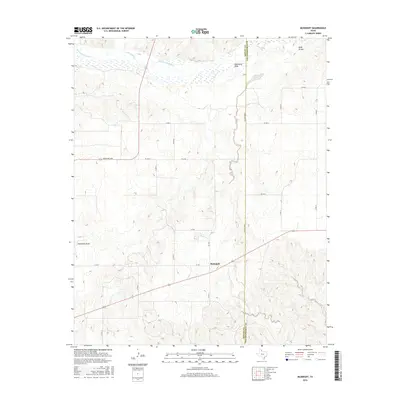
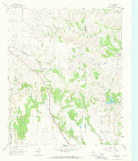
2016 Map of McKnight
USGS Topo · Published 2016About this map
The Salt Fork Red River flows across the northern reach of this Texas Panhandle landscape, where the shifting sands of Oklahoma Draw and Whitefish Cr define the drainage patterns. The settlement of McKnight serves as the primary hub of this rural territory, situated at the junction of several county roads and State Highway 203. The map reveals a land structured by agricultural grid-work, with the Donley and Collingsworth County line serving as a prominent north-south boundary through the eastern portion of the sheet. Modern connectivity is facilitated by routes like Ranch Rd 2695 and FM 2944, which link isolated ranching interests to larger regional centers. This survey captures the stark, topographic character of the region, where numerous nameless arroyos and intermittent streams like Jesse Arroyo carve through the plains.
Find a feature on this map
23 named features on this map. Tap any name to fly to it.
Don’t see what you’re looking for? This feature index may not catch every label — zoom into the map to look around manually.
Map Details
Editions of this 2016 McKnight Map
This is the sole edition of this map. No revisions or reprints were ever made.
Other maps of this area
1954 · Amarillo
USGS Topo · 1:250,000

1954 · Plainview
USGS Topo · 1:250,000
1958 · Amarillo
USGS Topo · 1:250,000

1958 · Plainview
USGS Topo · 1:250,000
1959 · Lelia Lake Creek
USGS Topo · 1:24,000
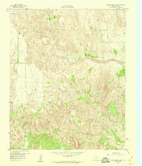
1959 · Troublesome Creek
USGS Topo · 1:24,000
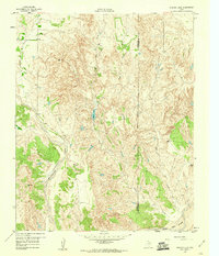
1959 · Spencer Lake
USGS Topo · 1:24,000
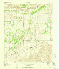
1959 · McKnight
USGS Topo · 1:24,000
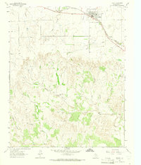
1963 · Hedley
USGS Topo · 1:24,000
1963 · Giles
USGS Topo · 1:24,000