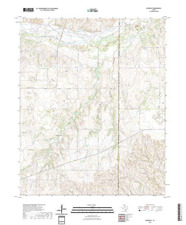
2023 Map of McKnight
USGS Topo · Published 2023About this map
The Salt Fork Red River defines the northern reaches of this Panhandle landscape, where a network of seasonal drainages and local roads cross the high plains. Situated on the border of Donley and Collingsworth counties, the area is characterized by the complex topography of Jesse Arroyo and the broad sweep of Oklahoma Draw. The map documents a rural section of Texas dominated by large-scale ranching and agriculture, reflected in the sparse but intentional grid of county roads such as Co Rd P and Co Rd S. This modern survey provides a clear look at the drainage patterns of Whitefish Creek and Little Buck Creek, which have shaped the movement and settlement patterns of this frontier region since the era of the great cattle drives.
Find a feature on this map
21 named features on this map. Tap any name to fly to it.
Don’t see what you’re looking for? This feature index may not catch every label — zoom into the map to look around manually.
Map Details
Editions of this 2023 McKnight Map
This is the sole edition of this map. No revisions or reprints were ever made.
Other maps of this area

1954 · Amarillo
USGS Topo · 1:250,000

1954 · Plainview
USGS Topo · 1:250,000

1958 · Amarillo
USGS Topo · 1:250,000

1958 · Plainview
USGS Topo · 1:250,000

1959 · Lelia Lake Creek
USGS Topo · 1:24,000

1959 · Troublesome Creek
USGS Topo · 1:24,000

1959 · Spencer Lake
USGS Topo · 1:24,000

1959 · McKnight
USGS Topo · 1:24,000

1963 · Hedley
USGS Topo · 1:24,000

1963 · Giles
USGS Topo · 1:24,000