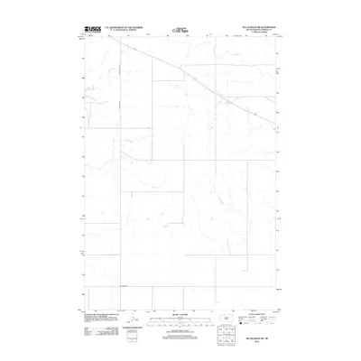
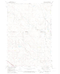
2012 Map of McLaughlin SW
USGS Topo · Published 2012About this map
Vast stretches of the Standing Rock Indian Reservation are defined by the intricate seasonal drainage patterns that carve through this Corson County landscape. In this 2012 survey, the rural character of the region is evident through the sparse network of gravel and section-line roads, such as Corson Road 13-1 and Corson Co 13-1. These corridors provide essential access through the open terrain, connecting the outlying reaches to the larger thoroughfares like Bullhead Rd in the southern portion of the quadrangle. The map is a study in Western plains hydrology, where unnamed creek beds and coulees form complex, branching networks that dictate the placement of ranch roads and crossings. For those researching the geography of north-central South Dakota, it highlights the intersection of modern county infrastructure and the natural topography of the high plains.
Find a feature on this map
3 named features on this map. Tap any name to fly to it.
Don’t see what you’re looking for? This feature index may not catch every label — zoom into the map to look around manually.
Map Details
Editions of this 2012 McLaughlin SW Map
This is the sole edition of this map. No revisions or reprints were ever made.
Other maps of this area

1953 · McIntosh
USGS Topo · 1:250,000
1956 · Little Eagle
USGS Topo · 1:24,000
1956 · Bullhead
USGS Topo · 1:24,000
1956 · Little Eagle NW
USGS Topo · 1:24,000
1956 · Miscol NE
USGS Topo · 1:24,000

1958 · McIntosh
USGS Topo · 1:250,000
1966 · McLaughlin
USGS Topo · 1:24,000
1966 · McLaughlin NE
USGS Topo · 1:24,000
1971 · McLaughlin SW
USGS Topo · 1:24,000
1971 · Maple Leaf
USGS Topo · 1:24,000