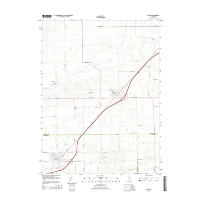
2015 Map of McLean
USGS Topo · Published 2015About this map
Atlanta and McLean anchor this central Illinois landscape, showing the persistent alignment of historical transportation corridors across the prairie. The diagonal passage of Old Route 66 and the parallel interstate system cut across a strictly ordered grid of county roads, such as E 600 North Rd and N 300 East Rd. This survey highlights the intersection of three counties—McLean, Logan, and De Witt—where the rural landscape is punctuated by several significant burial grounds including Funks Grove Cem and McLean-Mount Hope Cem.
Find a feature on this map
53 named features on this map. Tap any name to fly to it.
Don’t see what you’re looking for? This feature index may not catch every label — zoom into the map to look around manually.
Map Details
Editions of this 2015 McLean Map
This is the sole edition of this map. No revisions or reprints were ever made.
Other maps of this area

1911 · Lincoln
USGS Topo · 1:62,500

1913 · Lincoln
USGS Topo · 1:62,500

1949 · Mc Lean
USGS Topo · 1:62,500

1951 · McLean
USGS Topo · 1:62,500

1951 · Minier
USGS Topo · 1:62,500

1957 · Kenney
USGS Topo · 1:62,500

1958 · Peoria
USGS Topo · 1:250,000

1961 · Peoria
USGS Topo · 1:250,000

1963 · Peoria
USGS Topo · 1:250,000

1980 · Armington
USGS Topo · 1:24,000