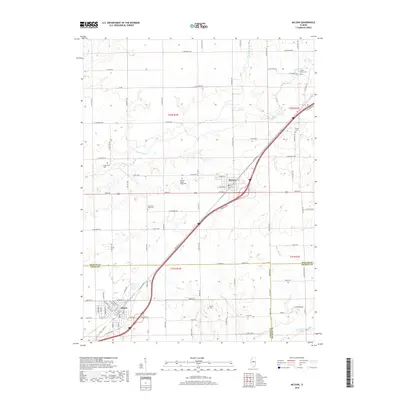
2018 Map of McLean
USGS Topo · Published 2018About this map
The village of McLean sits at the northern end of this central Illinois landscape, centered on a dense network of local roads such as Dixie Rd and Old Rte 66. The terrain is defined by the gentle drainage of Sugar Creek and Timber Cr, with several family and community cemeteries scattered across the prairie. Genealogists will note the distinction between McLean-Mount Hope Cem and Old Mount Hope Cem further south. Near the southern edge of the map, the town of Atlanta straddles the boundary between McLean and Logan County, situated near the headwaters of Clear Cr. This agricultural area maintains a rigid township and range grid, reflecting its history as a productive farming region where rural cemeteries like Roach Cem and Brock Cem remain as landmarks of the early settlement era.
Find a feature on this map
64 named features on this map. Tap any name to fly to it.
Don’t see what you’re looking for? This feature index may not catch every label — zoom into the map to look around manually.
Map Details
Editions of this 2018 McLean Map
This is the sole edition of this map. No revisions or reprints were ever made.
Other maps of this area

1911 · Lincoln
USGS Topo · 1:62,500

1913 · Lincoln
USGS Topo · 1:62,500

1949 · Mc Lean
USGS Topo · 1:62,500

1951 · McLean
USGS Topo · 1:62,500

1951 · Minier
USGS Topo · 1:62,500

1957 · Kenney
USGS Topo · 1:62,500

1958 · Peoria
USGS Topo · 1:250,000

1961 · Peoria
USGS Topo · 1:250,000

1963 · Peoria
USGS Topo · 1:250,000

1980 · Armington
USGS Topo · 1:24,000