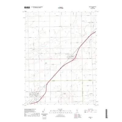
2021 Map of McLean
USGS Topo · Published 2021About this map
The settlement of McLean and the northern outskirts of Atlanta define this Central Illinois landscape where the borders of McLean, Logan, and De Witt counties converge. The terrain is a structured grid of agricultural roads, including Dixie Rd and the path of Old Rte 66, which runs parallel to the modern interstate corridor. This transit-oriented layout is softened by the winding courses of Sugar Creek and Timber Cr to the north, and Kickapoo Creek in the south.
Find a feature on this map
89 named features on this map. Tap any name to fly to it.
Don’t see what you’re looking for? This feature index may not catch every label — zoom into the map to look around manually.
Map Details
Editions of this 2021 McLean Map
This is the sole edition of this map. No revisions or reprints were ever made.
Other maps of this area

1911 · Lincoln
USGS Topo · 1:62,500

1913 · Lincoln
USGS Topo · 1:62,500

1949 · Mc Lean
USGS Topo · 1:62,500

1951 · McLean
USGS Topo · 1:62,500

1951 · Minier
USGS Topo · 1:62,500

1957 · Kenney
USGS Topo · 1:62,500

1958 · Peoria
USGS Topo · 1:250,000

1961 · Peoria
USGS Topo · 1:250,000

1963 · Peoria
USGS Topo · 1:250,000

1980 · Armington
USGS Topo · 1:24,000