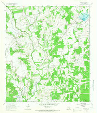
1963 Map of McMahan
USGS Topo · Published 1966About this map
Plum Creek and its extensive network of tributaries, including Tenney Creek and the Clear Fork Plum Creek, define the topography of this Caldwell County landscape during the early 1960s. The region is characterized by a significant petroleum economy, with the Linscomb Oil Field, Tenney Creek Oil Field, and the Salt Flat Oil Field spreading across the terrain. Small rural settlements like McMahan, Seawillow, and Brownsboro serve as local hubs, while numerous family and community landmarks such as Clark Chapel Cem, Daniels Chapel, and Bethel Ch provide essential points of reference for genealogists and local historians.
Find a feature on this map
37 named features on this map. Tap any name to fly to it.
Don’t see what you’re looking for? This feature index may not catch every label — zoom into the map to look around manually.
Map Details
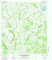
Editions of this 1963 McMahan Map
2 editions found
Other maps of this area

1901 · Flatonia
USGS Topo · 1:125,000

1911 · San Marcos
USGS Topo · 1:125,000

1919 · San Marcos
USGS Topo · 1:125,000

1925 · San Marcos 1-d
USGS Topo · 1:48,000

1925 · San Marcos 4-a
USGS Topo · 1:48,000

1929 · Luling
USGS Topo · 1:62,500

1930 · Lockhart
USGS Topo · 1:62,500

1953 · Seguin
USGS Topo · 1:250,000

1958 · Seguin
USGS Topo · 1:250,000

1963 · Lockhart North
USGS Topo · 1:24,000