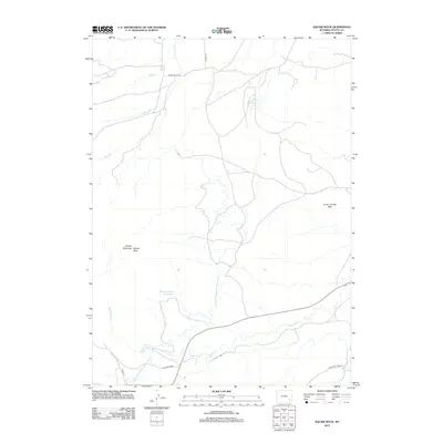
2012 Map of McMurray Creek
USGS Topo · Published 2012About this map
Squaw Mountain and the prominent Squaw Rock anchor this high-plains landscape in Platte County, Wyoming. The terrain is defined by a sophisticated water management network vital for the region, featuring the Wyoming Development Company Canal as it winds across the landscape. Several irrigation and storage points are distributed throughout the area, including Phelps Reservoir, Phelps Number 2 Reservoir, and Eshom Reservoir.
Find a feature on this map
18 named features on this map. Tap any name to fly to it.
Don’t see what you’re looking for? This feature index may not catch every label — zoom into the map to look around manually.
Map Details
Editions of this 2012 McMurray Creek Map
This is the sole edition of this map. No revisions or reprints were ever made.
Other maps of this area

1953 · Natwick SW
USGS Topo · 1:24,000

1953 · Hightower
USGS Topo · 1:24,000

1953 · Natwick
USGS Topo · 1:24,000

1953 · Squaw Rock
USGS Topo · 1:24,000

1953 · Hightower SW
USGS Topo · 1:24,000

1953 · Richeau Hills
USGS Topo · 1:24,000

1954 · Torrington
USGS Topo · 1:250,000

1954 · Cheyenne
USGS Topo · 1:250,000

1955 · Poe Mountain
USGS Topo · 1:24,000

1955 · Moonshine Peak
USGS Topo · 1:24,000