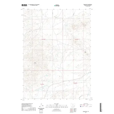
2021 Map of McMurray Creek
USGS Topo · Published 2021About this map
The high plains of Platte County are defined by a complex network of water management and distinct geological landmarks in this recent 2021 study. The terrain is dominated by the Cooney Hills and South Cooney Hills, with Squaw Mtn and the prominent Squaw Rock serving as key navigational points. These peaks overlook a landscape significantly modified for water storage and transport, featuring the Wyoming Development Company Canal and multiple catchments such as Eshom Reservoir and Phelps Number 2 Reservoir.
Find a feature on this map
22 named features on this map. Tap any name to fly to it.
Don’t see what you’re looking for? This feature index may not catch every label — zoom into the map to look around manually.
Map Details
Editions of this 2021 McMurray Creek Map
This is the sole edition of this map. No revisions or reprints were ever made.
Other maps of this area

1953 · Natwick SW
USGS Topo · 1:24,000

1953 · Hightower
USGS Topo · 1:24,000

1953 · Natwick
USGS Topo · 1:24,000

1953 · Squaw Rock
USGS Topo · 1:24,000

1953 · Hightower SW
USGS Topo · 1:24,000

1953 · Richeau Hills
USGS Topo · 1:24,000

1954 · Torrington
USGS Topo · 1:250,000

1954 · Cheyenne
USGS Topo · 1:250,000

1955 · Poe Mountain
USGS Topo · 1:24,000

1955 · Moonshine Peak
USGS Topo · 1:24,000