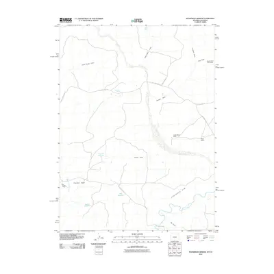
2010 Map of McPherson Springs
USGS Topo · Published 2010About this map
McPherson Springs and the surrounding high desert terrain dominate this landscape in southern Sweetwater County, defined by the prominent Cherokee Rim and the broad Cherokee Basin. The map captures a high-plateau environment where water is the primary architect of the geography, evidenced by an extensive network of ephemeral drainage features such as Cedar Breaks Draw, Hartt Cabin Draw, and Colloid Draw. To the south, the Little Snake River winds through the territory, flanked by landmarks like Dry Gulch.
Find a feature on this map
24 named features on this map. Tap any name to fly to it.
Don’t see what you’re looking for? This feature index may not catch every label — zoom into the map to look around manually.
Map Details
Editions of this 2010 McPherson Springs Map
This is the sole edition of this map. No revisions or reprints were ever made.
Other maps of this area

1916 · Craig
USGS Topo · 1:125,000

1954 · Vernal
USGS Topo · 1:250,000

1954 · Rawlins
USGS Topo · 1:250,000

1954 · Rock Springs
USGS Topo · 1:250,000

1954 · Craig
USGS Topo · 1:250,000

1957 · Craig
USGS Topo · 1:250,000

1958 · Rawlins
USGS Topo · 1:250,000

1958 · Vernal
USGS Topo · 1:250,000

1958 · Rock Springs
USGS Topo · 1:250,000

1958 · Craig
USGS Topo · 1:250,000