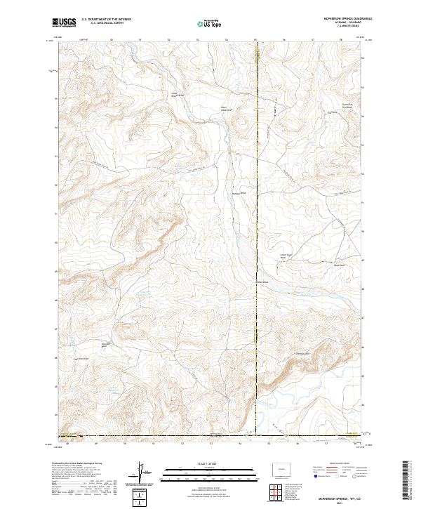
2021 Map of McPherson Springs
USGS Topo · Published 2021About this map
Mcpherson Springs sits near the heart of this high-desert landscape along the border of Wyoming and Colorado. The terrain is defined by a complex network of ephemeral drainages and water management features such as Clay Flat Reservoir, Anthill Reservoir, and Draw Reservoir, reflecting the critical importance of water for livestock in this arid environment. This reliance is further underscored by the Shell Creek Stock Trl, a historical corridor for moving cattle and sheep across the state line.
Find a feature on this map
33 named features on this map. Tap any name to fly to it.
Don’t see what you’re looking for? This feature index may not catch every label — zoom into the map to look around manually.
Map Details
Editions of this 2021 McPherson Springs Map
This is the sole edition of this map. No revisions or reprints were ever made.
Other maps of this area

1916 · Craig
USGS Topo · 1:125,000

1954 · Vernal
USGS Topo · 1:250,000

1954 · Rawlins
USGS Topo · 1:250,000

1954 · Rock Springs
USGS Topo · 1:250,000

1954 · Craig
USGS Topo · 1:250,000

1957 · Craig
USGS Topo · 1:250,000

1958 · Rawlins
USGS Topo · 1:250,000

1958 · Vernal
USGS Topo · 1:250,000

1958 · Rock Springs
USGS Topo · 1:250,000

1958 · Craig
USGS Topo · 1:250,000