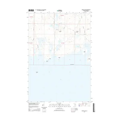
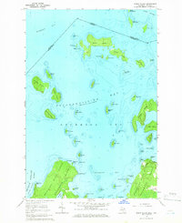
2014 Map of Meade Island
USGS Topo · Published 2014About this map
Drummond Island is the centerpiece of this northern Michigan survey, showcasing the eastern edge of the island where it meets the waters of Lake Huron. The small settlement of Lincoln serves as a local hub near the Finnish Cem, reflecting the cultural heritage of the Upper Peninsula. The landscape is heavily defined by its hydrography, with numerous interior lakes like Maki Lake, Miller Lake, and Toivola Lake pocketing the terrain. Along the southern coast, geological features such as Seamans Point, Traverse Point, and the underwater hazards of Horseshoe Reef and Holdridge Shoal illustrate the interface between the rocky island and the Great Lakes shipping environment. The presence of Beaver Dam Pond and various coves like Warners Cove suggests a landscape of active water systems and varied shorelines. This map documents a quiet, water-bound community interconnected by roads such as M-134 and Meade Island Rd.
Find a feature on this map
46 named features on this map. Tap any name to fly to it.
Don’t see what you’re looking for? This feature index may not catch every label — zoom into the map to look around manually.
Map Details
Editions of this 2014 Meade Island Map
This is the sole edition of this map. No revisions or reprints were ever made.
Other maps of this area

1954 · Alpena
USGS Topo · 1:250,000

1957 · Alpena
USGS Topo · 1:250,000

1958 · Alpena
USGS Topo · 1:250,000

1961 · Blind River
USGS Topo · 1:250,000
1964 · Marble Head
USGS Topo · 1:24,000

1964 · Drummond
USGS Topo · 1:24,000
1964 · Whitney Bay
USGS Topo · 1:24,000

1964 · Meade Island
USGS Topo · 1:24,000
1964 · Drummond SE
USGS Topo · 1:24,000
1964 · Burnt Island
USGS Topo · 1:24,000