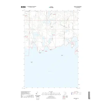
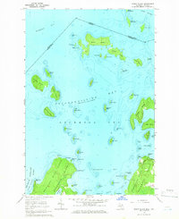
2019 Map of Meade Island
USGS Topo · Published 2019About this map
Drummond Island’s southeastern shorelines and interior wetlands are charted here, revealing a landscape shaped by glacial depressions and Great Lakes maritime navigation. The small settlement of Lincoln serves as a local hub, while the presence of the Finnish Cem points to the cultural heritage of the early Scandinavian settlers who established themselves in this corner of Chippewa County. The intricate coastline is defined by several prominent projections into Lake Huron, including Seamans Point and Scammon Point.
Find a feature on this map
50 named features on this map. Tap any name to fly to it.
Don’t see what you’re looking for? This feature index may not catch every label — zoom into the map to look around manually.
Map Details
Editions of this 2019 Meade Island Map
This is the sole edition of this map. No revisions or reprints were ever made.
Other maps of this area

1954 · Alpena
USGS Topo · 1:250,000

1957 · Alpena
USGS Topo · 1:250,000

1958 · Alpena
USGS Topo · 1:250,000

1961 · Blind River
USGS Topo · 1:250,000
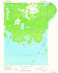
1964 · Marble Head
USGS Topo · 1:24,000

1964 · Drummond
USGS Topo · 1:24,000
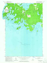
1964 · Whitney Bay
USGS Topo · 1:24,000

1964 · Meade Island
USGS Topo · 1:24,000
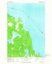
1964 · Drummond SE
USGS Topo · 1:24,000
1964 · Burnt Island
USGS Topo · 1:24,000