
1892 Map of Meade
USGS Topo · Published 1892About this map
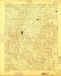
Meade sits at the heart of this high-plains landscape, serving as a vital hub where the Chicago Rock Island and Pacific Railroad cuts a diagonal path toward the northeast. Surveyed just decades after the region was opened to homesteading, the map reveals a network of small, emerging prairie settlements like Fowler, Jasper, and Odee. The drainage of Crooked Creek meanders through the northern townships, providing a critical water source in an area defined by its wide, open flats and occasional draws. To the south, the terrain descends toward the Cimarron River, which marks the lower boundary of the survey. The placement of early post offices and townsites such as Cash City and Atwater reflects the late nineteenth-century push to establish permanent communities along the rail lines and creek beds of southwest Kansas.
Find a feature on this map
34 named features on this map. Tap any name to fly to it.
Don’t see what you’re looking for? This feature index may not catch every label — zoom into the map to look around manually.
Map Details
Editions of this 1892 Meade Map
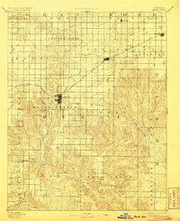
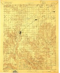
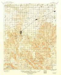
5 editions found
Other maps of this area

1892 · Dodge
USGS Topo · 1:125,000

1892 · Spearville
USGS Topo · 1:125,000

1894 · Spearville
USGS Topo · 1:125,000

1896 · Garden
USGS Topo · 1:125,000

1896 · Ashland
USGS Topo · 1:125,000

1954 · Perryton
USGS Topo · 1:250,000

1955 · Woodward
USGS Topo · 1:250,000

1955 · Pratt
USGS Topo · 1:250,000

1955 · Dodge City
USGS Topo · 1:250,000

1958 · Perryton
USGS Topo · 1:250,000