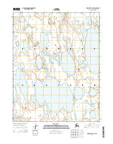
2014 Map of Meade River C-5 NE
USGS Topo · Published 2014About this map
Lake Itinik and Lake Tuvak dominate this North Slope landscape, illustrating the intricate hydrography of the Alaskan arctic coastal plain. This 2014 survey captures a terrain defined by thermokarst activity, where vast, shallow lakes are linked by seasonal drainages like Walik Cr. The presence of the Kugrua River in the southwestern corner highlights the connectivity of these inland waters to larger fluvial systems. The map preserves the exact boundaries of the Public Land Survey System, specifically across t16n r26w and t15n r26w, providing a precise geometric framework over a naturally fluid environment. This data, sourced from agencies like the U.S. Geological Survey and the Alaska Department of Transportation, reflects the modern geospatial mapping of one of the continent's most remote regions.
Find a feature on this map
8 named features on this map. Tap any name to fly to it.
Don’t see what you’re looking for? This feature index may not catch every label — zoom into the map to look around manually.
Map Details
Editions of this 2014 Meade River C-5 NE Map
This is the sole edition of this map. No revisions or reprints were ever made.
Other maps of this area

1951 · Meade River
USGS Topo · 1:250,000

1955 · Meade River
USGS Topo · 1:250,000

1955 · Meade River D-5
USGS Topo · 1:63,360

1955 · Meade River C-5
USGS Topo · 1:63,360
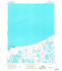
1955 · Meade River D-4
USGS Topo · 1:63,360

1955 · Meade River C-4
USGS Topo · 1:63,360
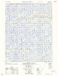
1962 · Meade River C-4
USGS Topo · 1:50,000
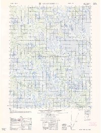
1962 · Meade River C-5
USGS Topo · 1:50,000
1962 · Meade River D-4
USGS Topo · 1:50,000
1962 · Meade River D-5
USGS Topo · 1:50,000