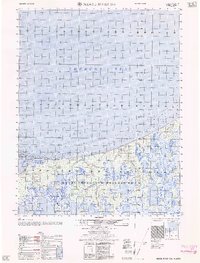
1962 Map of Meade River D-4
USGS Topo · Published 1962About this map
The arctic coast of the Chukchi Sea meets the northern reaches of the Naval Petroleum Reserve No 4 in this 1962 edition survey. The landscape is dominated by the intricate hydrology of the North Slope, where the Kugrua River and Papigak Creek meander through a complex network of thaw lakes and tundra toward the coast. Human activity is sparse but specialized, marked by a single Landing strip and a solitary Cabin near the shore of Peard Bay. This coastal survey, compiled by the Army Map Service using photogrammetric methods from 1955 photography, includes hydrographic data that identifies Tatchinesua Inlet and various shoals. The map records a moment of strategic and resource-focused interest in this remote region, balancing the maritime depths of the sea with the resource-rich designation of the naval reserve.
Find a feature on this map
8 named features on this map. Tap any name to fly to it.
Don’t see what you’re looking for? This feature index may not catch every label — zoom into the map to look around manually.
Map Details
Editions of this 1962 Meade River D-4 Map
This is the sole edition of this map. No revisions or reprints were ever made.
Other maps of this area

1951 · Meade River
USGS Topo · 1:250,000

1955 · Meade River
USGS Topo · 1:250,000

1955 · Meade River D-5
USGS Topo · 1:63,360

1955 · Meade River C-5
USGS Topo · 1:63,360

1955 · Meade River C-3
USGS Topo · 1:63,360
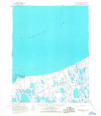
1955 · Meade River D-4
USGS Topo · 1:63,360

1955 · Meade River C-4
USGS Topo · 1:63,360

1955 · Meade River D-3
USGS Topo · 1:63,360
1962 · Meade River C-4
USGS Topo · 1:50,000
1962 · Meade River C-5
USGS Topo · 1:50,000