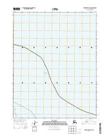
2014 Map of Meade River D-5 NE
USGS Topo · Published 2014About this map
The Chukchi Sea dominates this arctic coastline, where the waters of Peard Bay meet the northern reaches of Alaska. This coastal interface is characterized by the presence of Seahorse Island, a narrow landform positioned along the bay's edge. The map documents the vast maritime landscape within the North Slope Borough, providing a clear view of the shoreline as it existed in the early twenty-first century. Surveying data from the U.S. Geological Survey indicates the maritime boundaries and the grid of t18n r26w, reflecting the formal division of these remote northern reaches. This document captures the intersection of land and sea in an era before significant shifts in the arctic coastline, preserving the exact position of features like Peard Bay for researchers and maritime historians.
Find a feature on this map
6 named features on this map. Tap any name to fly to it.
Don’t see what you’re looking for? This feature index may not catch every label — zoom into the map to look around manually.
Map Details
Editions of this 2014 Meade River D-5 NE Map
This is the sole edition of this map. No revisions or reprints were ever made.
Other maps of this area

1951 · Meade River
USGS Topo · 1:250,000

1955 · Meade River
USGS Topo · 1:250,000

1955 · Meade River D-5
USGS Topo · 1:63,360
1955 · Meade River D-4
USGS Topo · 1:63,360
1962 · Meade River D-4
USGS Topo · 1:50,000
1962 · Meade River D-5
USGS Topo · 1:50,000
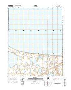
2014 · Meade River D-5 SW
USGS Topo · 1:25,000
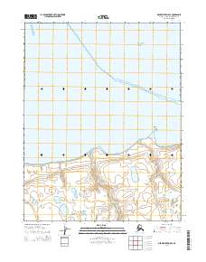
2014 · Meade River D-5 SE
USGS Topo · 1:25,000
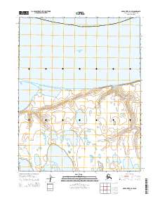
2014 · Meade River D-4 SW
USGS Topo · 1:25,000
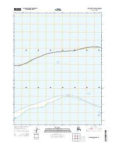
2014 · Meade River D-5 NW
USGS Topo · 1:25,000