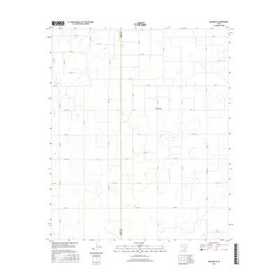
2016 Map of Meadow SE
USGS Topo · Published 2016About this map
The settlement of Lakeview occupies a central position on this High Plains landscape, situated just east of the Terry Co Lynn Co boundary line. This 2016 survey illustrates a highly regularized agricultural grid, where the movement of people and goods is defined by an extensive network of county roads. Primary transit corridors such as Farm Rd 211 and Fm 1317 provide vital links between the rural homesteads scattered across the plains. The terrain is characterized by subtle depressions and playa lakes typical of this region, many of which are skirted by routes like Co Rd 6 and Co Rd 11. This map serves as a clear record of modern Texas land division, showing how the county line between Terry County and Lynn County dictates the local geography and road numbering systems.
Find a feature on this map
36 named features on this map. Tap any name to fly to it.
Don’t see what you’re looking for? This feature index may not catch every label — zoom into the map to look around manually.
Map Details
Editions of this 2016 Meadow SE Map
This is the sole edition of this map. No revisions or reprints were ever made.
Other maps of this area

1954 · Lubbock
USGS Topo · 1:250,000

1954 · Brownfield
USGS Topo · 1:250,000

1957 · New Home
USGS Topo · 1:62,500

1957 · Meadow
USGS Topo · 1:62,500

1958 · Brownfield
USGS Topo · 1:250,000

1962 · Brownfield
USGS Topo · 1:250,000

1969 · Brownfield East
USGS Topo · 1:24,000

1969 · Mound Lake
USGS Topo · 1:24,000

1969 · Double Lakes
USGS Topo · 1:24,000

1976 · New Home NW
USGS Topo · 1:24,000