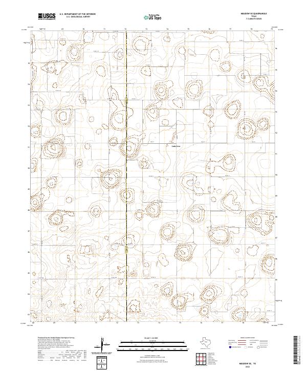
2022 Map of Meadow SE
USGS Topo · Published 2022About this map
The settlement of Lakeview sits within a wide, open landscape defined by its agricultural grid and the boundary line between Terry Co and Lynn Co. This 2022 survey illustrates the methodical layout of West Texas ranching and farming country, where an extensive network of county roads like Co Rd 210 and Co Rd 705 connects isolated farmsteads and agricultural operations. The terrain is dotted with numerous small basins and depressions, characteristic of the High Plains, which occasionally collect water in an otherwise semi-arid environment. Major thoroughfares such as Farm Rd 211 and Fm 1317 provide the primary links between the small community of Lakeview and the surrounding cotton-producing region. For those tracing the evolution of land use or property boundaries, the map provides a precise look at the modern rural infrastructure at the edge of the Llano Estacado.
Find a feature on this map
37 named features on this map. Tap any name to fly to it.
Don’t see what you’re looking for? This feature index may not catch every label — zoom into the map to look around manually.
Map Details
Editions of this 2022 Meadow SE Map
This is the sole edition of this map. No revisions or reprints were ever made.
Other maps of this area

1954 · Lubbock
USGS Topo · 1:250,000

1954 · Brownfield
USGS Topo · 1:250,000

1957 · New Home
USGS Topo · 1:62,500

1957 · Meadow
USGS Topo · 1:62,500

1958 · Brownfield
USGS Topo · 1:250,000

1962 · Brownfield
USGS Topo · 1:250,000

1969 · Brownfield East
USGS Topo · 1:24,000

1969 · Mound Lake
USGS Topo · 1:24,000

1969 · Double Lakes
USGS Topo · 1:24,000

1976 · New Home NW
USGS Topo · 1:24,000