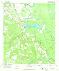
1965 Map of Mechanic Hill
USGS Topo · Published 1968About this map
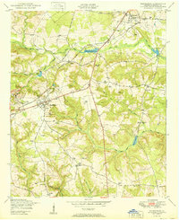
The Savannah River carves a winding path along the Georgia and South Carolina border, defining the landscape south of Augusta. In the mid-1960s, this area reflects a complex transition from rural agricultural roots to industrial utility. While family history is preserved at sites like Union Cem, Crockett Cem, and Fielding Springs Ch Cem, the arrival of heavy infrastructure is evident in the Industrial Waste Ponds and the nearby Bush Field. The Central of Georgia railroad provides the primary north-south corridor through the settlement of Mechanic Hill, bypassing several oxbow features such as Horseshoe Lake and Hardens Dead River. To the south, numerous firebreaks cross the terrain near McBean Creek and Bennock Millpond, suggesting a landscape managed for timber or conservation amid the low-lying wetlands of Hole-in-Swamp.
Find a feature on this map
70 named features on this map. Tap any name to fly to it.
Don’t see what you’re looking for? This feature index may not catch every label — zoom into the map to look around manually.
Map Details
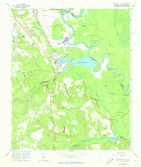
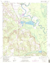
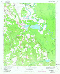
Editions of this 1965 Mechanic Hill Map
4 editions found
Other maps of this area

1919 · Gough
USGS Topo · 1:62,500

1920 · Greens Cut
USGS Topo · 1:62,500

1921 · Augusta
USGS Topo · 1:62,500

1922 · Hephzibah
USGS Topo · 1:62,500

1943 · Greens Cut
USGS Topo · 1:62,500

1943 · Augusta East
USGS Topo · 1:125,000

1943 · Augusta
USGS Topo · 1:62,500

1948 · Hephzibah
USGS Topo · 1:62,500

1948 · Gough
USGS Topo · 1:62,500
1950 · Hephzibah
USGS Topo · 1:24,000