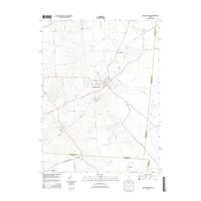
2013 Map of Mechanicsburg
USGS Topo · Published 2013About this map
Mechanicsburg serves as the primary hub of this west-central Ohio landscape, where the confluence of several state routes and local roads meets the headwaters of Little Darby Cr. The town's grid is dense with street-level detail, featuring W Main St, E Sandusky St, and the local Po. Beyond the village limits, the terrain is defined by a network of agricultural drainage and small waterways like Jumping Run and Clover Run, which feed into larger systems such as the East Fork Buck Creek Structure Number One Reservoir.
Find a feature on this map
76 named features on this map. Tap any name to fly to it.
Don’t see what you’re looking for? This feature index may not catch every label — zoom into the map to look around manually.
Map Details
Editions of this 2013 Mechanicsburg Map
This is the sole edition of this map. No revisions or reprints were ever made.
Other maps of this area

1907 · London
USGS Topo · 1:62,500

1907 · South Charleston
USGS Topo · 1:62,500

1914 · Mechanicsburg
USGS Topo · 1:62,500

1916 · Mechanicsburg
USGS Topo · 1:62,500

1916 · Milford Center
USGS Topo · 1:62,500

1944 · Mechanicsburg
USGS Topo · 1:62,500

1944 · Milford Center
USGS Topo · 1:62,500

1947 · Columbus
USGS Topo · 1:250,000

1950 · Marion
USGS Topo · 1:250,000

1961 · Columbus
USGS Topo · 1:250,000