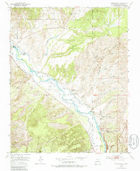
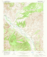
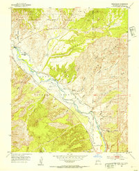
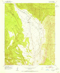
1953 Map of Medanales
USGS Topo · Published 1986About this map
The Juan Jose Lobato Grant defines the layout of this high-desert landscape in northern New Mexico, where the Rio Chama carves a fertile valley through otherwise arid terrain. Life in the mid-20th century centered on the small village of Medanales, anchored by the San Antonio Church. The settlement pattern follows the river, with various ditches and canals diverted to support agriculture at sites like the Quarter Circle Ranch.
Find a feature on this map
31 named features on this map. Tap any name to fly to it.
Don’t see what you’re looking for? This feature index may not catch every label — zoom into the map to look around manually.
Map Details
Editions of this 1953 Medanales Map
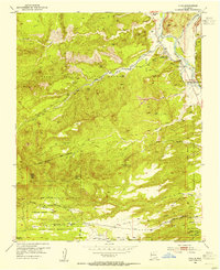
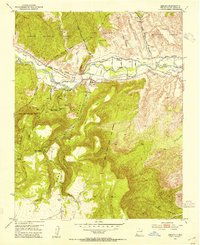
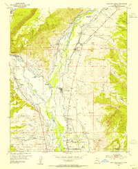
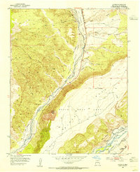
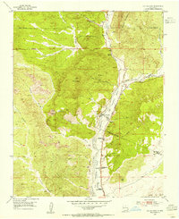
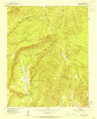
Other maps of this area

1918 · Abiquiu
USGS Topo · 1:125,000
1953 · Chili
USGS Topo · 1:24,000
1953 · Abiquiu
USGS Topo · 1:24,000
1953 · Medanales
USGS Topo · 1:24,000
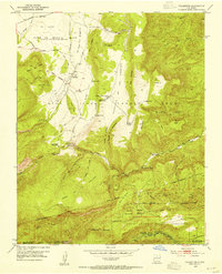
1953 · Vallecitos
USGS Topo · 1:24,000
1953 · San Juan Pueblo
USGS Topo · 1:24,000
1953 · Lyden
USGS Topo · 1:24,000
1953 · El Rito
USGS Topo · 1:24,000
1953 · Ojo Caliente
USGS Topo · 1:24,000
1953 · Canjilon SE
USGS Topo · 1:24,000