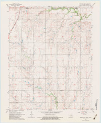
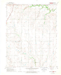
1968 Map of Medford NE
USGS Topo · Published 1983About this map
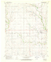
The Kansas-Oklahoma border cuts through this landscape, dividing Grant County from Sumner County along a winding section of Bluff Creek. The Chicago Rock Island and Pacific railroad runs diagonally through the northwest corner, serving a community just south of the state line where local recreation and entertainment are evidenced by the Caldwell Golf Course and a Drive-in Theater. This 1968 field-checked map captures the area's agricultural and industrial character, from the Shale Pits in the east to the Southeast Renfrow Oil Field in the south.
Find a feature on this map
18 named features on this map. Tap any name to fly to it.
Don’t see what you’re looking for? This feature index may not catch every label — zoom into the map to look around manually.
Map Details
Editions of this 1968 Medford NE Map
2 editions found
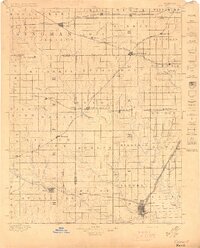
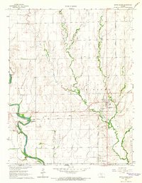
Other maps of this area

1889 · Caldwell
USGS Topo · 1:125,000

1890 · Wellington
USGS Topo · 1:125,000

1893 · Caldwell
USGS Topo · 1:125,000
1897 · Caldwell
USGS Topo · 1:125,000

1955 · Wichita
USGS Topo · 1:250,000

1955 · Enid
USGS Topo · 1:250,000

1958 · Enid
USGS Topo · 1:250,000

1958 · Wichita
USGS Topo · 1:250,000
1965 · South Haven
USGS Topo · 1:24,000
1968 · Deer Creek
USGS Topo · 1:24,000