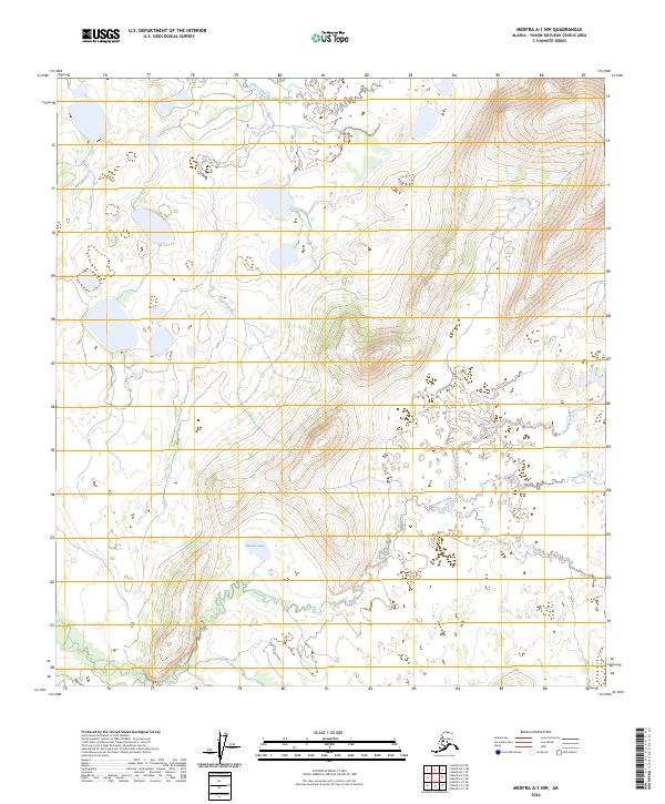
2024 Map of Medfra A-1 NW
USGS Topo · Published 2024About this map
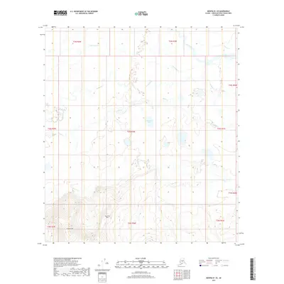
Slow Fork meanders through the northern reaches of this interior Alaskan wilderness, defining a landscape dominated by shifting watercourses and glacial terrain. The area is characterized by complex hydrology where Dennis Creek and Grayling Creek carve through the lowlands, feeding into a network of unnamed ponds and wetlands. A central landmark, Dennis Lake, sits surrounded by the expansive muskeg typical of the Yukon-Koyukuk region. This 2024 survey documents the topographic layout of the Public Land Survey System townships of t26s r28e, t26s r29e, t27s r28e, and t27s r29e, illustrating how the drainage patterns of these minor tributaries shape the local environment in the absence of human settlement or infrastructure.
Find a feature on this map
8 named features on this map. Tap any name to fly to it.
Don’t see what you’re looking for? This feature index may not catch every label — zoom into the map to look around manually.
Map Details
Editions of this 2024 Medfra A-1 NW Map
This is the sole edition of this map. No revisions or reprints were ever made.
Other maps of this area

1950 · Medfra
USGS Topo · 1:250,000

1958 · Medfra A-2
USGS Topo · 1:63,360

1958 · Medfra B-2
USGS Topo · 1:63,360

1958 · Medfra A-1
USGS Topo · 1:63,360

1958 · Medfra B-1
USGS Topo · 1:63,360

1959 · Medfra
USGS Topo · 1:250,000
2019 · Medfra A-1 SW
USGS Topo · 1:25,000
2019 · Medfra A-1 SE
USGS Topo · 1:25,000
2019 · Medfra A-2 NE
USGS Topo · 1:25,000
2019 · Medfra B-1 SE
USGS Topo · 1:25,000