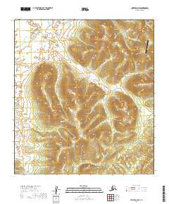
2019 Map of Medfra A-4 NW
USGS Topo · Published 2019About this map
The Kuskokwim Mountains dominate this interior Alaskan landscape, where the terrain is marked by numerous drainages and named gulches that suggest a history of prospecting. In the northeastern corner, the Nixon Fork Mine Airport serves as a remote anchor for the area's mineral interests. The surrounding peaks are bisected by several prominent waterways, including Minnie Cr, Hidden Cr, and Eagle Cr, which carve through the high ground. Distinctive geological features like the Glory Hole and Crystal Gulch point toward the localized mining activity that has long defined this part of the Yukon-Koyukuk region. Farther south, Skookum Cr and Crooked Cr wind through the valleys, illustrating the complex drainage patterns of the Kuskokwim range before they reach larger river systems.
Find a feature on this map
25 named features on this map. Tap any name to fly to it.
Don’t see what you’re looking for? This feature index may not catch every label — zoom into the map to look around manually.
Map Details
Editions of this 2019 Medfra A-4 NW Map
This is the sole edition of this map. No revisions or reprints were ever made.
Other maps of this area

1950 · Medfra
USGS Topo · 1:250,000

1953 · Medfra B-4
USGS Topo · 1:63,360

1953 · Medfra B-5
USGS Topo · 1:63,360

1954 · Medfra A-5
USGS Topo · 1:63,360
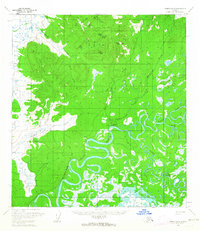
1959 · Medfra A-4
USGS Topo · 1:63,360

1959 · Medfra
USGS Topo · 1:250,000
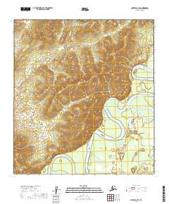
2019 · Medfra A-4 SW
USGS Topo · 1:25,000
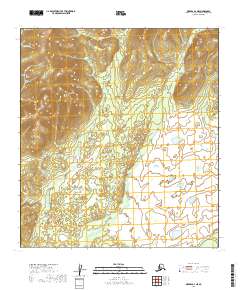
2019 · Medfra A-4 NE
USGS Topo · 1:25,000
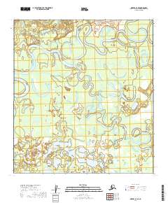
2019 · Medfra A-4 SE
USGS Topo · 1:25,000
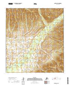
2019 · Medfra B-4 SW
USGS Topo · 1:25,000