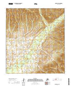
2019 Map of Medfra B-4 SW
USGS Topo · Published 2019About this map
Nixon Fork meanders through this interior Alaska landscape, creating a complex network of wetlands and drainage basins in the Yukon-Koyukuk region. The terrain is defined by its water systems, including the aptly named Mystery Cr and Submarine Cr that feed into the larger river system. This 2019 survey illustrates the intricate topography of the Medfra area, where seasonal water flow shapes the land south of Hosmer Cr. The lack of road infrastructure or permanent settlements underscores the isolation of this reach of the Alaskan wilderness. Researchers can trace the hydrography of small tributaries like Ruby Cr and Puzzle Cr as they weave through the low-lying sections of the Nixon Fork valley, providing a detailed look at the hydrological patterns of the northern interior.
Find a feature on this map
14 named features on this map. Tap any name to fly to it.
Don’t see what you’re looking for? This feature index may not catch every label — zoom into the map to look around manually.
Map Details
Editions of this 2019 Medfra B-4 SW Map
This is the sole edition of this map. No revisions or reprints were ever made.
Other maps of this area

1950 · Medfra
USGS Topo · 1:250,000

1953 · Medfra B-4
USGS Topo · 1:63,360

1953 · Medfra B-5
USGS Topo · 1:63,360

1954 · Medfra A-5
USGS Topo · 1:63,360
1959 · Medfra A-4
USGS Topo · 1:63,360

1959 · Medfra
USGS Topo · 1:250,000
2019 · Medfra B-4 NW
USGS Topo · 1:25,000
2019 · Medfra A-4 NE
USGS Topo · 1:25,000
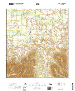
2019 · Medfra A-5 NE
USGS Topo · 1:25,000
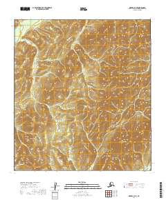
2019 · Medfra B-4 SE
USGS Topo · 1:25,000