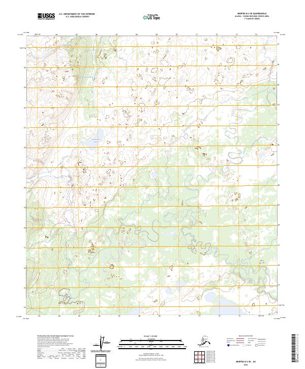
2024 Map of Medfra B-2 SE
USGS Topo · Published 2024About this map
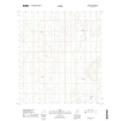
The braided hydrography of the interior Alaska wilderness defines this topographic study in the Yukon-Koyukuk region. Slow Fork meanders extensively across the landscape, creating a complex network of oxbows and seasonal wetlands that dominate the southern half of the quadrangle. In the northwest, Towahmina Lake sits as a primary freshwater feature amidst the low-lying terrain, while the northeastern corner is marked by the winding path of Tonclonukna Creek. This map reveals a landscape largely shaped by water, where subtle elevation changes dictate the flow of these significant interior waterways. The absence of roads or permanent structures underscores the isolation of this terrain within the Medfra B-2 SE area, providing a detailed record of the natural drainage patterns and topographical contours that define the Alaskan interior.
Find a feature on this map
10 named features on this map. Tap any name to fly to it.
Don’t see what you’re looking for? This feature index may not catch every label — zoom into the map to look around manually.
Map Details
Editions of this 2024 Medfra B-2 SE Map
This is the sole edition of this map. No revisions or reprints were ever made.
Other maps of this area

1950 · Medfra
USGS Topo · 1:250,000

1958 · Medfra A-2
USGS Topo · 1:63,360

1958 · Medfra B-2
USGS Topo · 1:63,360

1958 · Medfra A-1
USGS Topo · 1:63,360

1958 · Medfra B-1
USGS Topo · 1:63,360

1959 · Medfra
USGS Topo · 1:250,000
2019 · Medfra A-2 NW
USGS Topo · 1:25,000
2019 · Medfra B-2 SW
USGS Topo · 1:25,000
2019 · Medfra A-2 NE
USGS Topo · 1:25,000
2019 · Medfra B-1 NW
USGS Topo · 1:25,000