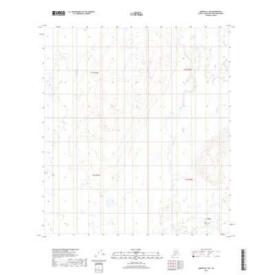
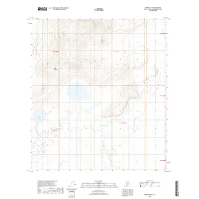
2019 Map of Medfra B-1 NW
USGS Topo · Published 2019About this map
Telida sits at the southern edge of this interior landscape, positioned near the confluence of vital waterways that have long dictated movement through the Yukon-Koyukuk region. The settlement is supported by the Telida Airport, providing a critical connection to the wider Alaskan interior where roads are absent. The hydrology is the defining characteristic of the terrain, with the meandering Swift Fork and the intricate channels of Red Slough dominating the eastern half of the map. To the west, the drainage of Pontag Cr cuts through the low-lying wetlands and subtle elevation changes. This 2019 survey documents a remote environment where the natural drainage patterns of the Kuskokwim River basin remain the primary geographical features, illustrating the isolation and specialized infrastructure required for life in this part of the Unorganized Borough.
Find a feature on this map
10 named features on this map. Tap any name to fly to it.
Don’t see what you’re looking for? This feature index may not catch every label — zoom into the map to look around manually.
Map Details
Editions of this 2019 Medfra B-1 NW Map
This is the sole edition of this map. No revisions or reprints were ever made.
Other maps of this area

1950 · Medfra
USGS Topo · 1:250,000

1958 · Medfra C-2
USGS Topo · 1:63,360

1958 · Medfra B-2
USGS Topo · 1:63,360

1958 · Medfra C-1
USGS Topo · 1:63,360

1958 · Medfra B-1
USGS Topo · 1:63,360

1959 · Medfra
USGS Topo · 1:250,000
2019 · Medfra C-2 SE
USGS Topo · 1:25,000
2019 · Medfra B-1 SE
USGS Topo · 1:25,000
2019 · Medfra C-1 SE
USGS Topo · 1:25,000
2019 · Medfra B-1 NE
USGS Topo · 1:25,000