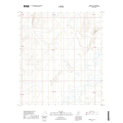
2019 Map of Medfra C-2 SE
USGS Topo · Published 2019About this map
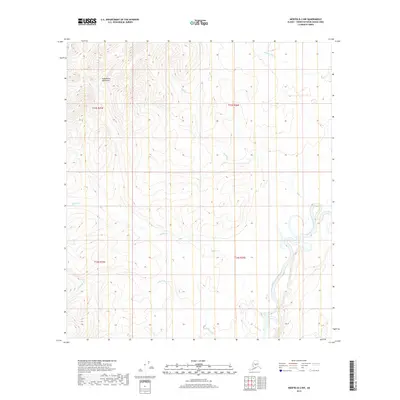
The North Fork Kuskokwim River defines the southern reaches of this interior Alaskan landscape, characterized by complex river meanders and an extensive network of drainage streams. The terrain is largely dominated by low-lying wetlands and seasonal watercourses, including Eden Creek and Black Cr, which transition from the higher elevations of the northeast down toward the river valley. Standing as a singular landmark in the north, Little Hog Butte provides one of the few significant relief features in an otherwise alluvial environment. This 2019 survey documents the hydrologic patterns of the region, illustrating how smaller tributaries like Stone Cr and Runyan Cr feed into the broader Kuskokwim system. The map provides clear insight into the remote geography of the Yukon-Koyukuk Census Area, showing the intricate relationship between the varying water levels and the surrounding wilderness.
Find a feature on this map
16 named features on this map. Tap any name to fly to it.
Don’t see what you’re looking for? This feature index may not catch every label — zoom into the map to look around manually.
Map Details
Editions of this 2019 Medfra C-2 SE Map
This is the sole edition of this map. No revisions or reprints were ever made.
Other maps of this area

1950 · Medfra
USGS Topo · 1:250,000

1958 · Medfra C-2
USGS Topo · 1:63,360

1958 · Medfra B-2
USGS Topo · 1:63,360

1958 · Medfra C-1
USGS Topo · 1:63,360

1958 · Medfra B-1
USGS Topo · 1:63,360

1959 · Medfra
USGS Topo · 1:250,000
2019 · Medfra C-2 NE
USGS Topo · 1:25,000
2019 · Medfra C-2 NW
USGS Topo · 1:25,000
2019 · Medfra B-1 NW
USGS Topo · 1:25,000
2019 · Medfra B-2 NW
USGS Topo · 1:25,000