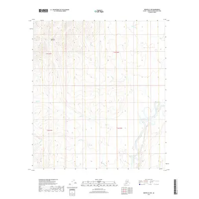
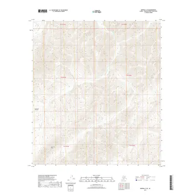
2019 Map of Medfra B-2 NW
USGS Topo · Published 2019About this map
The North Fork Kuskokwim River snakes through the eastern portion of this Alaska interior landscape, defining a complex corridor of oxbows and riparian lowlands. Set against the northern reaches of the Kuskokwim Mountains, the terrain is defined by a dense network of drainage systems. These include Beaver Cr, which traverses the central section of the quadrangle, and Wolverine Cr in the southwest.
Find a feature on this map
10 named features on this map. Tap any name to fly to it.
Don’t see what you’re looking for? This feature index may not catch every label — zoom into the map to look around manually.
Map Details
Editions of this 2019 Medfra B-2 NW Map
This is the sole edition of this map. No revisions or reprints were ever made.
Other maps of this area

1950 · Medfra
USGS Topo · 1:250,000

1954 · Medfra C-3
USGS Topo · 1:63,360

1955 · Medfra B-3
USGS Topo · 1:63,360

1958 · Medfra C-2
USGS Topo · 1:63,360

1958 · Medfra B-2
USGS Topo · 1:63,360

1959 · Medfra
USGS Topo · 1:250,000
2019 · Medfra B-3 NE
USGS Topo · 1:25,000
2019 · Medfra B-2 SW
USGS Topo · 1:25,000
2019 · Medfra C-2 SE
USGS Topo · 1:25,000
2019 · Medfra C-3 SE
USGS Topo · 1:25,000