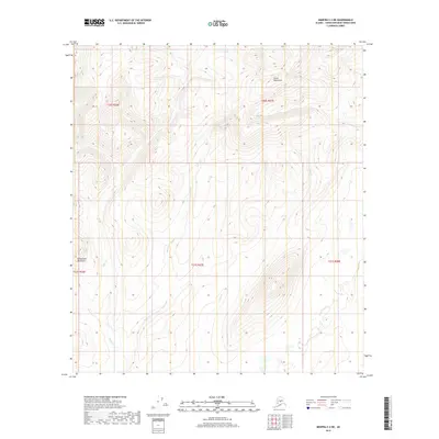
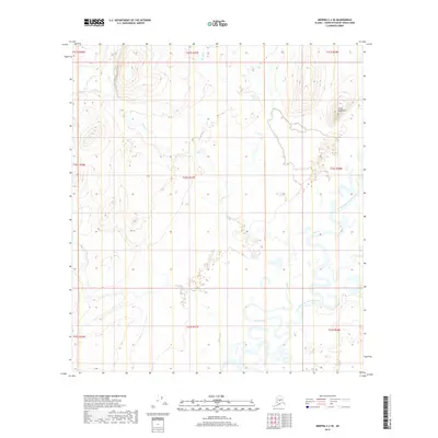
2019 Map of Medfra C-2 NE
USGS Topo · Published 2019About this map
The Sischu Mountains dominate the northern landscape of this interior Alaska territory, where steep elevations define the drainage patterns of the Yukon-Koyukuk region. In the southwest, the Kuskokwim Mountains make a brief appearance, marking the intersection of these two significant Alaskan ranges. The terrain is deeply incised by a series of north-to-south flowing watercourses, primarily Eden Cr, Baker Cr, and Black Cr. These creeks follow the natural troughs between the high ridges, illustrating a landscape defined entirely by its hydrology and mountain topography. The absence of roads or settlements emphasizes the remote nature of this wilderness area within the Unorganized Borough during the early 21st century.
Find a feature on this map
10 named features on this map. Tap any name to fly to it.
Don’t see what you’re looking for? This feature index may not catch every label — zoom into the map to look around manually.
Map Details
Editions of this 2019 Medfra C-2 NE Map
This is the sole edition of this map. No revisions or reprints were ever made.
Other maps of this area

1950 · Medfra
USGS Topo · 1:250,000

1958 · Medfra D-2
USGS Topo · 1:63,360

1958 · Medfra C-2
USGS Topo · 1:63,360

1958 · Medfra C-1
USGS Topo · 1:63,360

1958 · Medfra D-1
USGS Topo · 1:63,360

1959 · Medfra
USGS Topo · 1:250,000
2019 · Medfra D-2 SE
USGS Topo · 1:25,000
2019 · Medfra C-2 NW
USGS Topo · 1:25,000
2019 · Medfra D-1 SW
USGS Topo · 1:25,000
2019 · Medfra C-2 SE
USGS Topo · 1:25,000