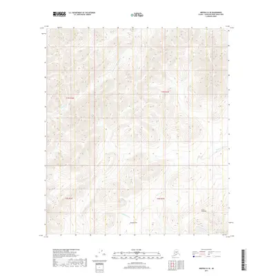
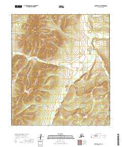
2019 Map of Medfra D-2 SE
USGS Topo · Published 2019About this map
The Sischu Mountains define the high elevations of this remote interior landscape within the Yukon-Koyukuk Census Area. This 2019 survey documents a complex drainage system where the Paradise Fork Sethkokna River and Browns Fork descend from the upland ridges to meet the primary channel of the Sethkokna River. A key point of passage is found at Paradise Pass, a distinctive gap between the peaks. The map details the intricate network of watercourses that shape the terrain, including the headwaters of the W Fork Shellman Cr. This record of the Unorganized Borough serves as a precise baseline for the region's hydrography and topographic character in the early twenty-first century, showing the natural corridors used for navigation and transit across the mountainous divide.
Find a feature on this map
10 named features on this map. Tap any name to fly to it.
Don’t see what you’re looking for? This feature index may not catch every label — zoom into the map to look around manually.
Map Details
Editions of this 2019 Medfra D-2 SE Map
This is the sole edition of this map. No revisions or reprints were ever made.
Other maps of this area

1950 · Medfra
USGS Topo · 1:250,000

1958 · Medfra D-2
USGS Topo · 1:63,360

1958 · Medfra C-2
USGS Topo · 1:63,360

1958 · Medfra C-1
USGS Topo · 1:63,360

1958 · Medfra D-1
USGS Topo · 1:63,360

1959 · Medfra
USGS Topo · 1:250,000
2019 · Medfra C-2 NE
USGS Topo · 1:25,000
2019 · Medfra C-2 NW
USGS Topo · 1:25,000
2019 · Medfra D-2 NE
USGS Topo · 1:25,000
2019 · Medfra D-1 NW
USGS Topo · 1:25,000