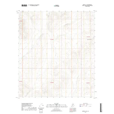
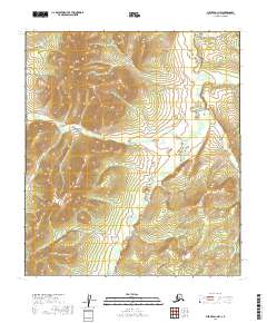
2019 Map of Medfra D-1 SW
USGS Topo · Published 2019About this map
Kuskokwim Mountains dominate the terrain of this interior Alaskan wilderness, where the high elevations transition toward the winding Sethkokna River. This 2019 survey documents a landscape defined by its hydrology, featuring the headwaters and tributaries of several drainage systems. The Sethkokna River meanders through the western half of the quadrangle, while Lind Cr and Shellman Cr flow through the eastern reaches. The lack of roads or established settlements emphasizes the primitive nature of this region within the Yukon-Koyukuk Census Area. Township and range lines, such as t19s r28e, provide the only formal structure across these peaks and valleys, illustrating how modern cartography imposes a grid over a region shaped entirely by elevation and water flow.
Find a feature on this map
10 named features on this map. Tap any name to fly to it.
Don’t see what you’re looking for? This feature index may not catch every label — zoom into the map to look around manually.
Map Details
Editions of this 2019 Medfra D-1 SW Map
This is the sole edition of this map. No revisions or reprints were ever made.
Other maps of this area

1950 · Medfra
USGS Topo · 1:250,000

1958 · Medfra D-2
USGS Topo · 1:63,360

1958 · Medfra C-2
USGS Topo · 1:63,360

1958 · Medfra C-1
USGS Topo · 1:63,360

1958 · Medfra D-1
USGS Topo · 1:63,360

1959 · Medfra
USGS Topo · 1:250,000
2019 · Medfra C-2 NE
USGS Topo · 1:25,000
2019 · Medfra D-2 SE
USGS Topo · 1:25,000
2019 · Medfra D-2 NE
USGS Topo · 1:25,000
2019 · Medfra D-1 NW
USGS Topo · 1:25,000