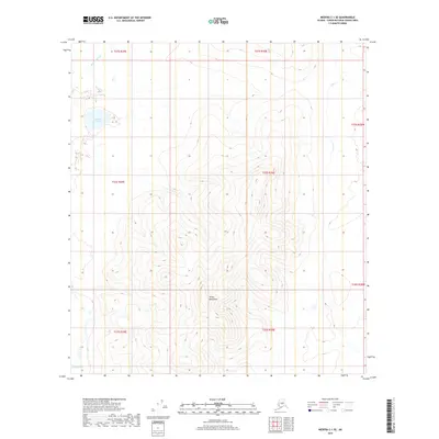
2019 Map of Medfra C-1 SE
USGS Topo · Published 2019About this map
Telida Mountains dominate this interior landscape, illustrating the elevation patterns and hydrography of the Yukon-Koyukuk Census Area as it was documented in the early 21st century. The map shows a remote environment defined by drainage systems, where Medicineman Cr and Fish Cr carve through the high ground. The presence of Teliamina Lake in the northwest and the winding course of Red Slough in the southwest suggests a landscape of varying water tables and seasonal flow. This USGS survey highlights the complex topography and section lines of the Public Land Survey System, providing a precise look at the land's contours and natural boundaries within the Unorganized Borough.
Find a feature on this map
13 named features on this map. Tap any name to fly to it.
Don’t see what you’re looking for? This feature index may not catch every label — zoom into the map to look around manually.
Map Details
Editions of this 2019 Medfra C-1 SE Map
This is the sole edition of this map. No revisions or reprints were ever made.
Other maps of this area

1950 · Medfra
USGS Topo · 1:250,000

1952 · Mount McKinley
USGS Topo · 1:250,000

1958 · Medfra C-1
USGS Topo · 1:63,360

1958 · Mount McKinley B-6
USGS Topo · 1:63,360

1958 · Mount McKinley C-6
USGS Topo · 1:63,360

1958 · Mount McKinley
USGS Topo · 1:250,000

1958 · Medfra B-1
USGS Topo · 1:63,360

1959 · Medfra
USGS Topo · 1:250,000

1969 · Mount McKinley
USGS Topo · 1:250,000
2017 · Denali C-6 NW
USGS Topo · 1:25,000