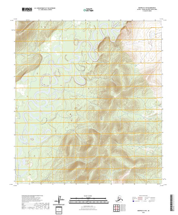
2024 Map of Medfra B-2 SW
USGS Topo · Published 2024About this map
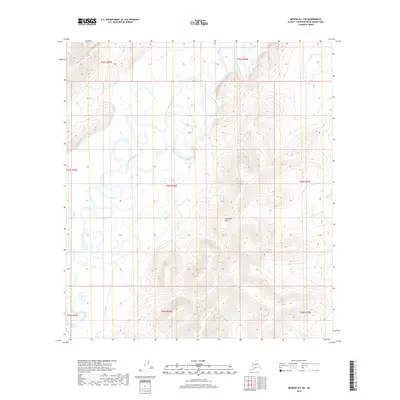
The North Fork Kuskokwim River dominates this interior Alaska landscape, where it carves a complex meandering path through the wilderness. This section of the river system is characterized by dramatic oxbow loops and intricate scroll bars, illustrating a dynamic fluvial environment as the water winds through the lowlands. To the east, the topography shifts towards the East Fork Hills, providing a distinct contrast between the saturated river bottom and the rising elevation. Smaller tributaries such as Lake Creek feed into the main channel, reflecting a vast drainage network that remains largely untouched by infrastructure. The map records the precise Public Land Survey System township and range lines, including t25s r26e and t26s r26e, which organize this unpopulated terrain into a formal administrative grid.
Find a feature on this map
11 named features on this map. Tap any name to fly to it.
Don’t see what you’re looking for? This feature index may not catch every label — zoom into the map to look around manually.
Map Details
Editions of this 2024 Medfra B-2 SW Map
This is the sole edition of this map. No revisions or reprints were ever made.
Other maps of this area

1950 · Medfra
USGS Topo · 1:250,000

1954 · Medfra A-3
USGS Topo · 1:63,360

1955 · Medfra B-3
USGS Topo · 1:63,360

1958 · Medfra A-2
USGS Topo · 1:63,360

1958 · Medfra B-2
USGS Topo · 1:63,360

1959 · Medfra
USGS Topo · 1:250,000
2019 · Medfra B-3 NE
USGS Topo · 1:25,000
2019 · Medfra A-3 NE
USGS Topo · 1:25,000
2019 · Medfra A-2 NW
USGS Topo · 1:25,000
2019 · Medfra B-2 SW
USGS Topo · 1:25,000