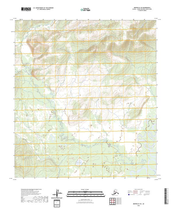
2024 Map of Medfra B-3 SE
USGS Topo · Published 2024About this map
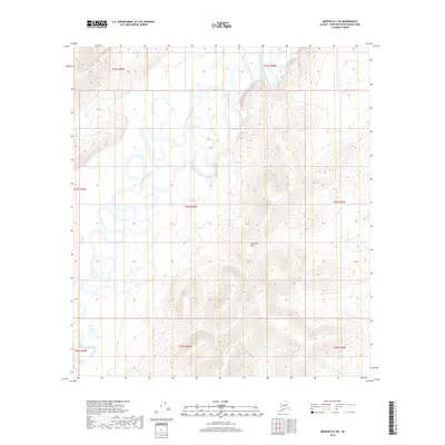
The North Fork Kuskokwim River defines the southeastern corner of this landscape, a remote section of the Yukon-Koyukuk Census Area where water systems dictate the topography. In the central lowlands, Berry Lake sits as a significant catchment point amidst a network of drainage systems. The terrain is characterized by the winding paths of Soda Creek, which cuts across the central and southern sections, while Wolverine Creek and Lake Creek drain the northern uplands. This area, largely defined by its natural hydrology, remains a wilderness where traditional land boundaries like t25s r25e and t26s r24e provide the only formal structure to the expansive river basin and marshland environment.
Find a feature on this map
11 named features on this map. Tap any name to fly to it.
Don’t see what you’re looking for? This feature index may not catch every label — zoom into the map to look around manually.
Map Details
Editions of this 2024 Medfra B-3 SE Map
This is the sole edition of this map. No revisions or reprints were ever made.
Other maps of this area

1950 · Medfra
USGS Topo · 1:250,000

1954 · Medfra A-3
USGS Topo · 1:63,360

1955 · Medfra B-3
USGS Topo · 1:63,360

1958 · Medfra A-2
USGS Topo · 1:63,360

1958 · Medfra B-2
USGS Topo · 1:63,360

1959 · Medfra
USGS Topo · 1:250,000
2019 · Medfra B-3 NE
USGS Topo · 1:25,000
2019 · Medfra A-3 NE
USGS Topo · 1:25,000
2019 · Medfra A-2 NW
USGS Topo · 1:25,000
2019 · Medfra B-2 SW
USGS Topo · 1:25,000