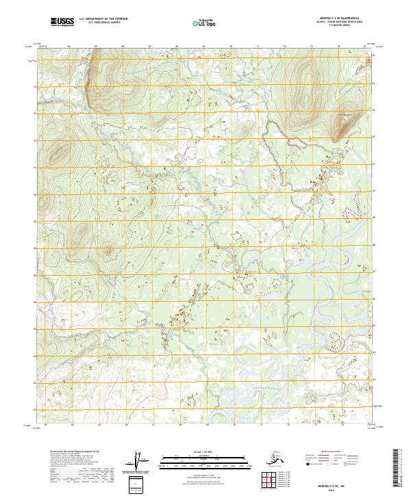
2024 Map of Medfra C-2 SE
USGS Topo · Published 2024About this map
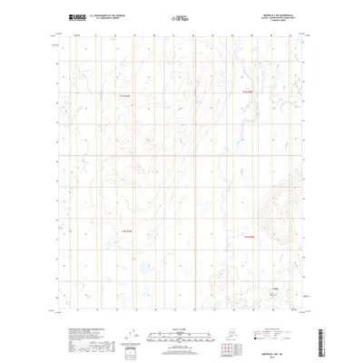
The North Fork Kuskokwim River anchors the southern portion of this landscape, its winding course creating a complex network of oxbows and wetlands across the central interior of Alaska. The terrain rises to the northeast toward Little Hog Butte, a prominent landmark that overlooks the drainage basins of several interior waterways. Tributaries including Black Creek, Eden Creek, and Stone Creek cut through the topography, illustrating the natural water shed patterns of the Yukon-Koyukuk region. This survey represents a remote wilderness area defined by its riparian corridors and lack of established road infrastructure, where the Runyun Creek and other streams dictate the movement and ecology of the river valley.
Find a feature on this map
15 named features on this map. Tap any name to fly to it.
Don’t see what you’re looking for? This feature index may not catch every label — zoom into the map to look around manually.
Map Details
Editions of this 2024 Medfra C-2 SE Map
This is the sole edition of this map. No revisions or reprints were ever made.
Other maps of this area

1950 · Medfra
USGS Topo · 1:250,000

1958 · Medfra C-2
USGS Topo · 1:63,360

1958 · Medfra B-2
USGS Topo · 1:63,360

1958 · Medfra C-1
USGS Topo · 1:63,360

1958 · Medfra B-1
USGS Topo · 1:63,360

1959 · Medfra
USGS Topo · 1:250,000
2019 · Medfra C-2 NE
USGS Topo · 1:25,000
2019 · Medfra C-2 NW
USGS Topo · 1:25,000
2019 · Medfra C-2 SE
USGS Topo · 1:25,000
2019 · Medfra B-1 NW
USGS Topo · 1:25,000